Makena State Park – Pu’u Olai

Pu'u Olai as seen from Charley Young Beach

Pu’u Olai as seen from Charley Young Beach

Pu’u Olai is a 360 foot tall cinder cone in the middle of Makena State Park. A dominant feature on the southwest coast of Maui, Pu’u Olai is visible from almost everywhere in west Maui and as far north as Olowalu on the road to Lahaina. If you want to get to Makena, just drive toward Pu’u Olai.

Big Beach is on the south side of Pu’u Olai; Little Beach on the west side, and Black Sand Beach is to the north.

Numerous trails lead to the summit of Pu’u Olai. It’s a short, but sometimes steep, hike. We took a trail that starts from the road to Black Sand Beach, maybe 50 yards from the parking lot at the end of the road. Most of the trail is entirely exposed, so go in the morning before it gets hot. Take water and enjoy the view. Hiking shoes, tennis shoes, or (at minimum) strap on sandals are recommended. Parts of the trail are composed of loose gravel – not a problem going up, but potentially hazardous coming down.

On a clear day you can see Mauna Loa and Mauna Kea on the Big Island, the uninhabited island of Koho’olawe, Molokini (where the snorkel boats go), Lanai, Molokai, and, of course, Mt Haleakala, the West Maui Mountains, and most of Maui.

Big Beach as seen from Pu'u Olai

Big Beach as seen from Pu’u Olai

View toward Wailea from Pu'u Olai

View toward Wailea from Pu’u Olai

Makena State Park – Little Beach (no pictures please)

Little Beach is located just north of Big Beach

Little Beach is located just north of Big Beach

In case you don’t know, Little Beach is south Maui’s clothing optional beach. While public nudity is illegal in Hawaii, it’s tolerated (at least most of the time) at Little Beach and a few other places on the island. While quiet during the week, according to other posts, Little Beach can get pretty raucous on the weekends – especially Sunday afternoon and evening when there may be hundreds of people on the beach with drum circles, dancing, and various substances consumed.

Little Beach is a small sandy cove located on the west side of the cinder cone that dominates Makena State Park. It’s separated from Big Beach on the south, and Black Sand Beach on the north, by portions of the cinder cone that extend into the ocean. This is not a place that you (or your children) are going to stumble upon by accident.

GETTING THERE

Trail from parking lot to Big Beach

Trail from parking lot to Big Beach

Drive south through Wailea to Big Beach and park in the northernmost parking lot. Take the trail from the parking lot and keep heading north (to your right) when you come to the beach.

The north end of the beach appears blocked off by an ancient lava flow extending out from the cinder cove. On closer inspection, you’ll see a rough trail leading up and over the rock to Little Beach. Shoes or strap on sandals are advised.

Climb over the rock to get to Little Beach

Climb over the rock to get to Little Beach


Little Beach is a primitive beach with no water, restrooms, or lifeguards. There is also little shade on the beach. Take what you need, and don’t forget the sunscreen!


Makena State Park – Black Sand Beach

Black Sands Beach

Black Sand Beach

Makena State Park’s biggest and most popular attraction is Big Beach. Less well known, and certainly much less used, is Black Sand Beach, located on the north side of the cinder cone that defines one end of Big Beach.

A tiny parking lot at the end of a very bumpy, but mercifully short, dirt road can hold maybe ten cars. Despite this, as the nearly deserted beach in the picture above suggests, there’s usually plenty of parking space.

In addition to its quiet serenity and unusual color, Black Sand Beach has excellent snorkeling. Find a place where it’s easy to enter the water (there’s one almost directly below the parking lot) and swim out 20 or 30 yards to the coral. Swim as far as you want parallel to the shore and next to the cinder cone. You’ll see lots of fish and coral and maybe turtle or two.

GETTING THERE

Drive south through Wailea toward the big cinder cone that separates Big Beach and Black Sand Beach. With the cinder cone square on your right, look for a dirt road with a white crossbar gate (open during daylight hours). There is usually a Jawz Taco truck parked just beyond the gate on the opposite side of the road (great tacos!). If you get to the entrance to Big Beach, you’ve gone too far.

Entry to Black Sands Beach

Entry to Black Sands Beach

NOTE: Black Sand Beach is a primitive beach. There are no restrooms, water, or lifeguards. If in doubt, don’t go out.

Makena State Park – Big Beach

Pu'u Olai as seen from Charley Young Beach

Pu’u Olai as seen from Charley Young Beach

Makena State Park is a 20 minute drive south of Kihei. It’s most prominent feature, the volcanic cinder cone Pu’u Olai, is visible for miles from almost everywhere in west Maui and up country.

There are three beaches at Makena State Park: Big Beach, Little Beach, and Black Sands Beach. This post is about Big Beach.

Big Beach is well named. It is BIG.

Big Beach looking east

Big Beach is very popular with locals. Probably because of its location and lack of common amenities (showers, dressing rooms, drinking water, and real toilets) there are far fewer tourists at Big Beach than in more developed parts of the island. There are, however, lifeguards, two large parking lots, porta-potties, picnic tables, and (usually) a food truck selling great tacos.

The beach has great sand and sun but a deceptively strong shore break. The water gets deep fast and the surf can be powerful. It’s great for experienced body boarders but not for amateurs. Note and heed the signs: “If in doubt, don’t go out.”

To get there, drive south through Wailea and Makena. Look for signs to “Big Beach” as you pass the Pu’u Olai cinder cone. If the first parking lot is full, there’s a second lot a little farther down the road.

Secret Beach – AKA Makena Cove

Makena Cove

Secret Beach as seen from the west

About a 20 minute drive south from Maui Vista is a small (and not very secret) beach that is a popular site for weddings. While small, it’s never crowded. There are usually lots of turtles off the rocks to the right and left of the beach. Not a great place to swim, but wonderful for relaxing in a beautiful spot. A word to the wise: there are  no facilities at Secret Beach (no water, no showers, not even a porta-potty).

To get there, drive south through Wailea and past the two entrances to Big Beach at Makena State Park. A low lava rock wall starts near the east end of Big Beach. The wall quickly grows in height so you can’t see over it to the presumably lavish residences on the other side. When you see a small break in the wall (see picture below), you have arrived.

Entrance to Secret Beach

Entrance to Secret Beach

Hiking La Perouse Bay – The Hoapili Trail and Cape Hanamanioa

Getting to La Perouse Bay

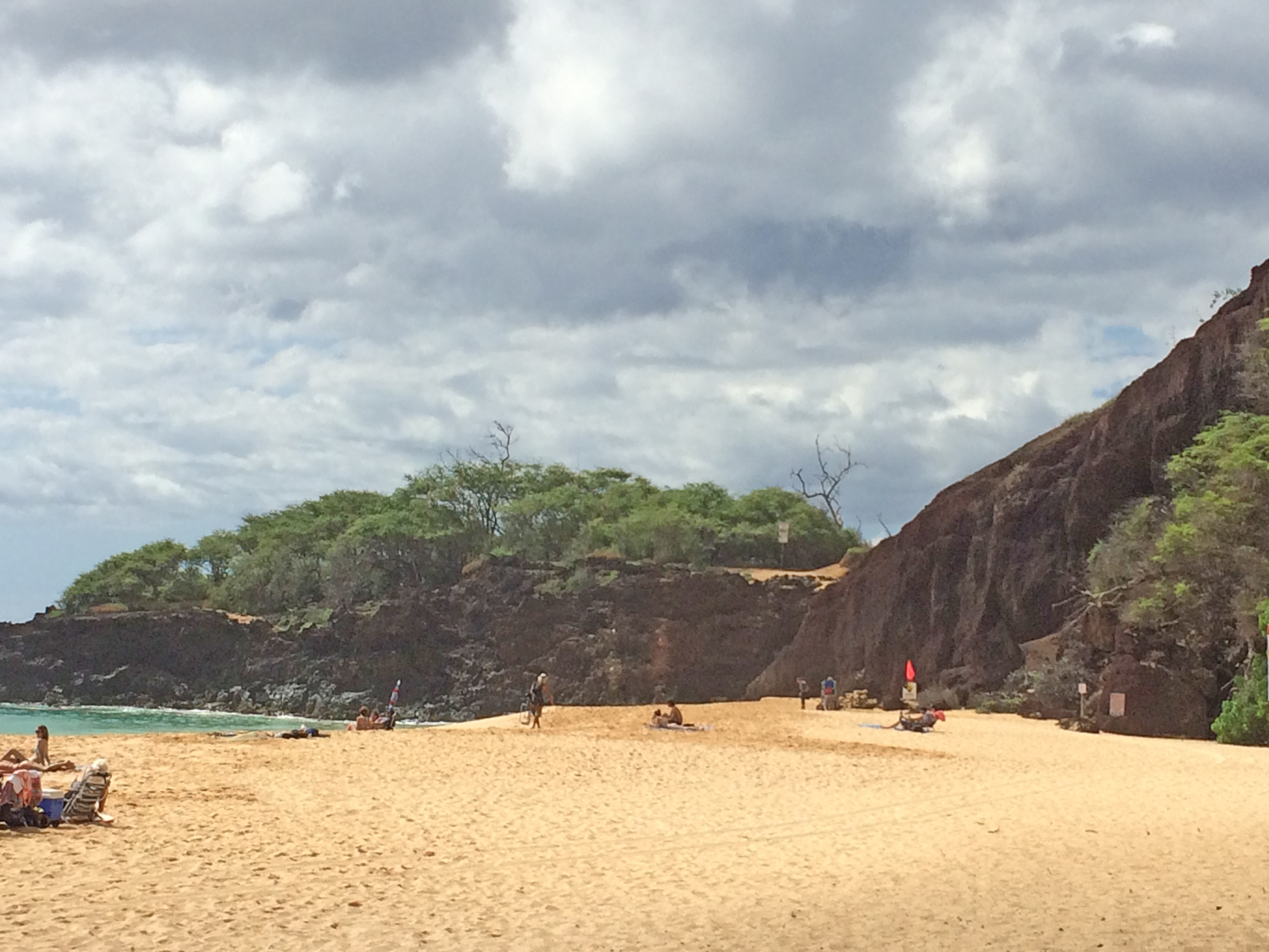
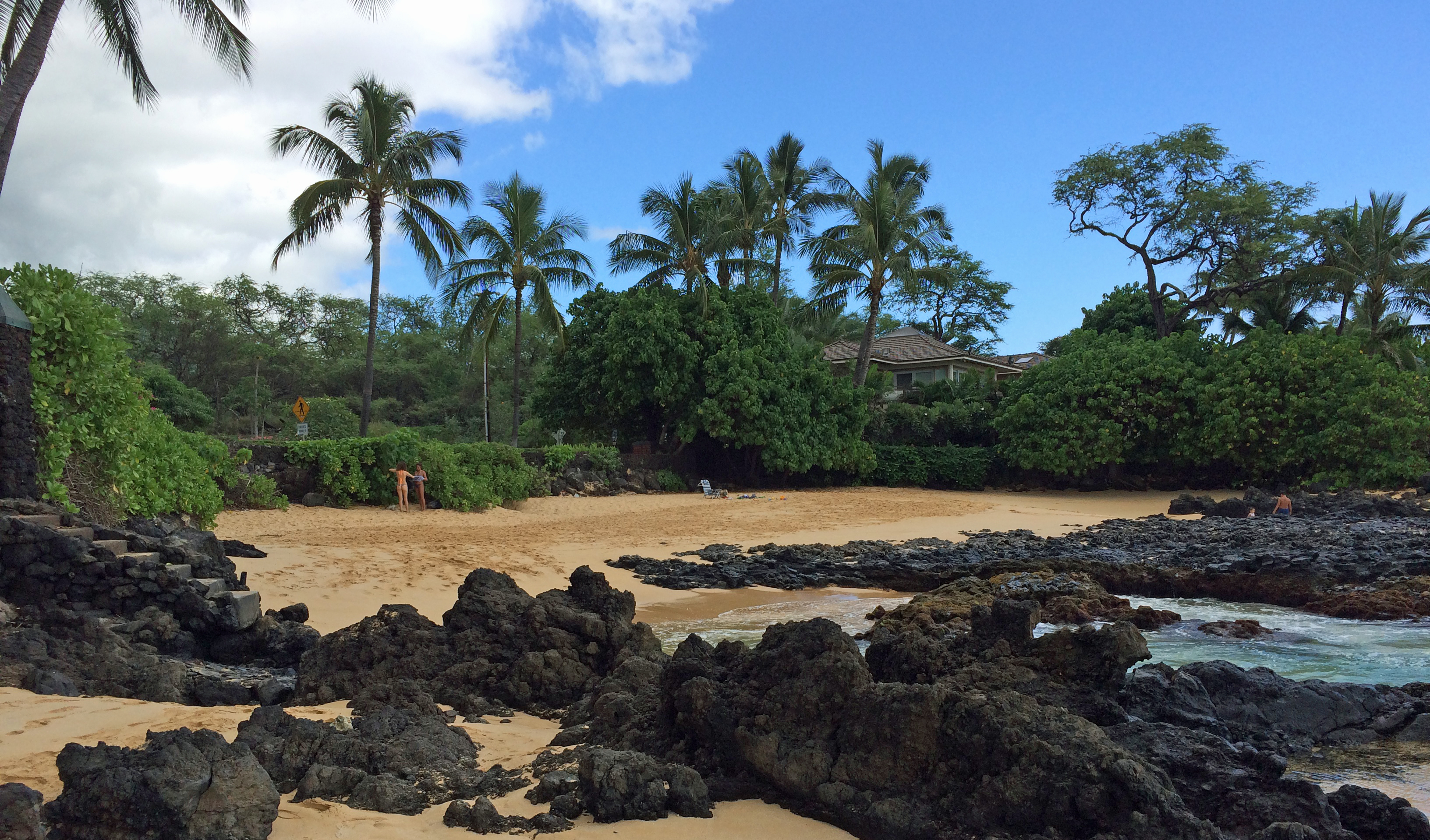
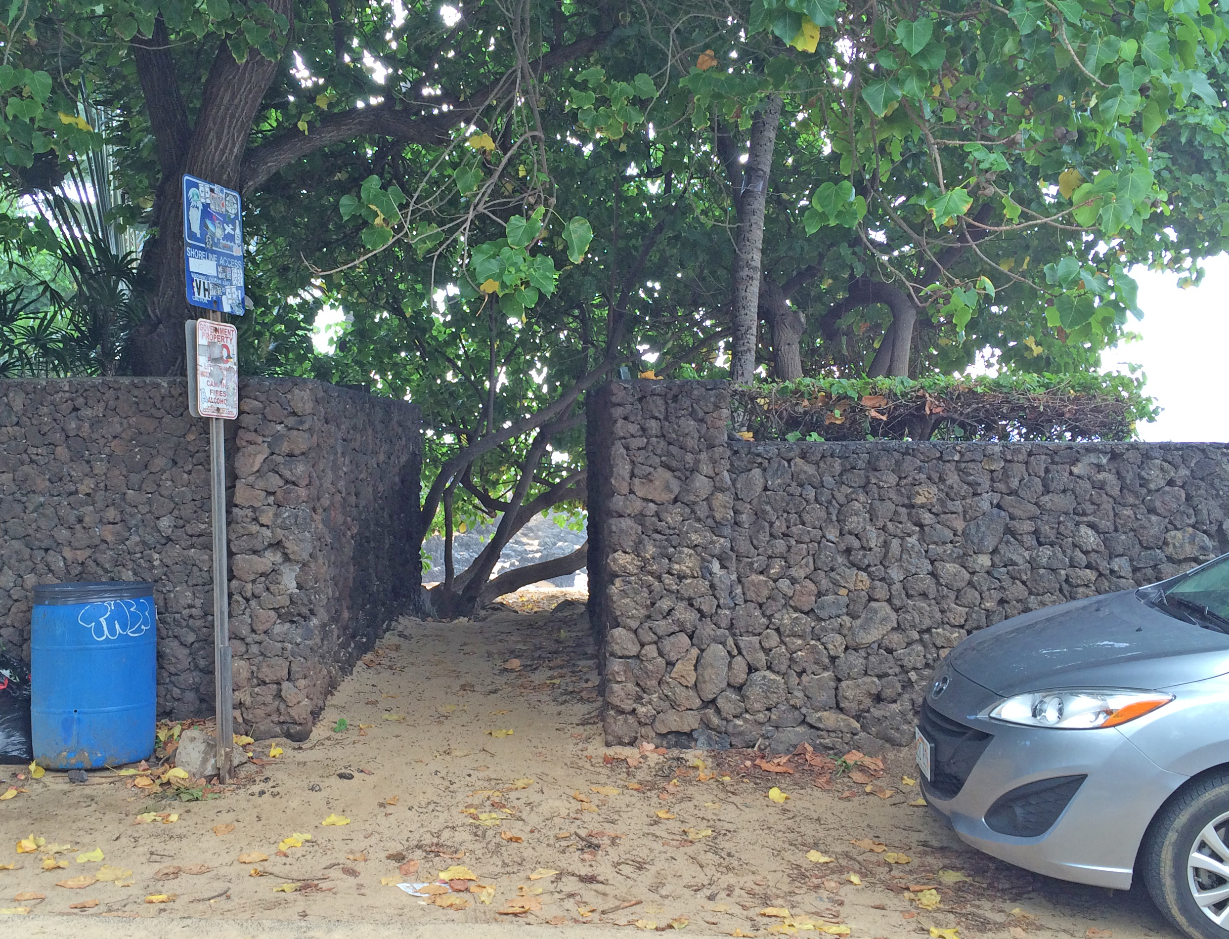
If you drive as far south as possible through Wailea, Makena, and beyond, you come to La Perouse Bay. The drive takes you past Big Beach, through the Ahihi Kinau Reserve, and across a long stretch of lava from the last eruption of Mount Haleakala in 1790. After the manicured beauty of Wailea, the road gets narrower. Later it gets even narrower. Finally, it gets so narrow there are pull outs so cars going in the opposite direction can pass. The last few hundred yards are so bumpy you may want to park before the last turn toward the bay. Look for the horse corral and the stone monument. You can park there or bounce over the last bumps until you get to the water’s edge. It’s about 25 minutes south of Maui Vista.

The Hoapili Trail starts a few yards from the water’s edge on your left as you face the bay. The first portion of the hike is though a lava field. This, and other parts of the trail, need real shoes, not flip flops or sandals. Tennis shoes will do, walking shoes are better.

Trail Route

There are cultural artifacts in the lava fields – the lower walls of shelters built by Hawaiians sometime after the 1790 eruption. There’s not much to see, but some people find them interesting.

Look for the a small blow hole about halfway across the lave field. If the tide is high and the surf is up it makes a good splash.

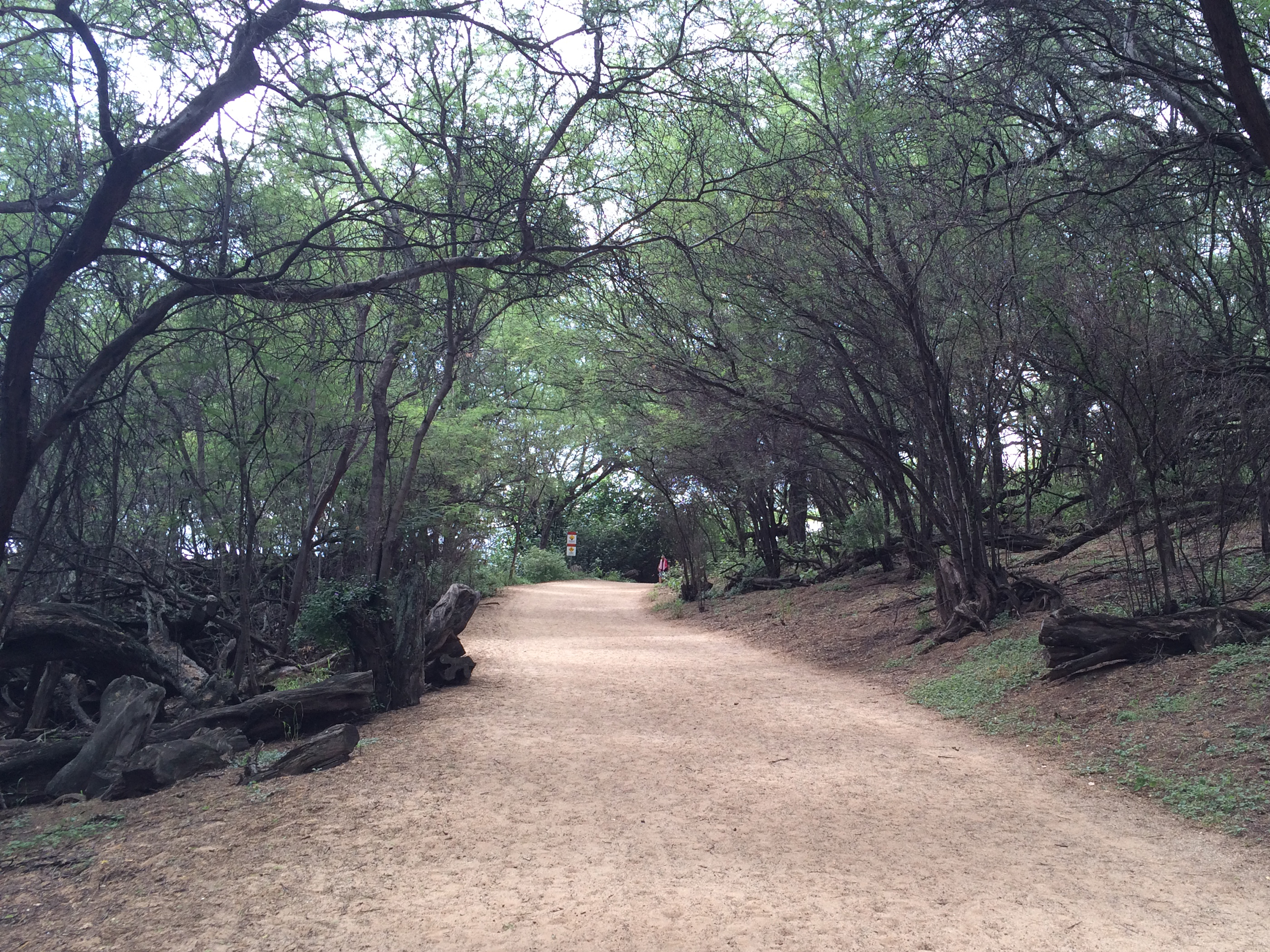
A pretty bay greats you at the end of the lava field. After that you walk under the welcome shade of mesquite trees (locally known as kiawe). Lots of feral goats here. Keep a lookout for a surfer memorial on your right after you’ve walked for 5 or 10 minutes.

As you come out from under the trees you have three choices of route. You can keep on the “road” which will take you to the next shady grove or on to your destination at the end of Cape Hanamanioa. Alternatively, you can turn off the road through the broken wire gate and follow the King’s Highway cross the second lava field until you come to a sign that tells you it was reconstructed in its present form during the first half of the 19th century. If you take this route, turn right at the sign to return to the road or to the second grove. Finally, you can walk along a very rocky beach to the second grove.

Into the woods

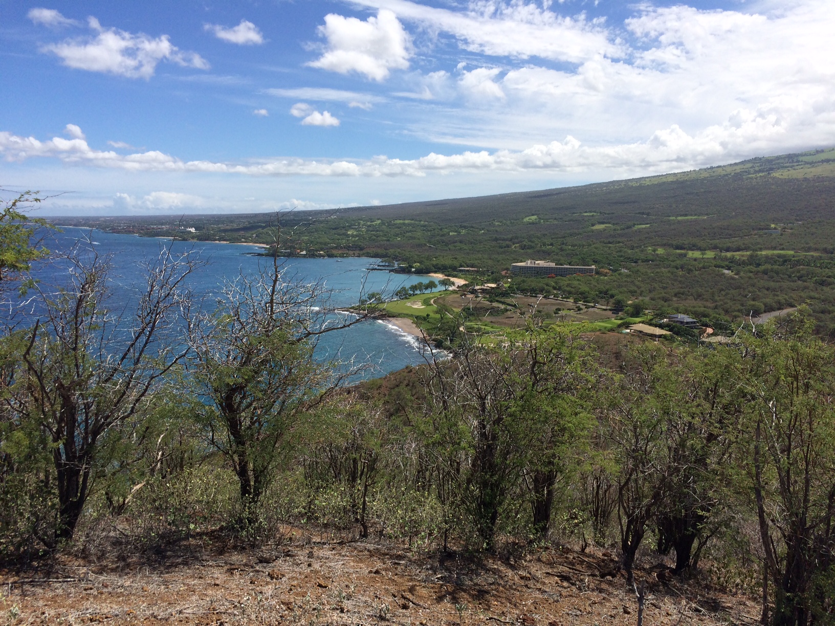
As indicated in the map above, once you get to the second grove, there is an easier and harder route to the end of Cape Hanamanioa. The easier route is fairly boring, with little to see but lava and views in the distance. The harder route takes you along high cliffs over sometimes rough terrain with spectacular views of the bay and beyond. The water is multi-colored shades of crystal clear blue. Sometimes the trail is hard to find. Persevere, the rough parts lead to an actual trail.

Views from the coastal trail

It’s often very windy at the end of the cape – hold onto your hat. One way distance from start to finish is about 1.25 miles. It will take you longer than you think.

From the end of the cape you can return or follow more trails (for miles) onto new coves, beaches and interesting sights. Enjoy.

Hang onto your hat at the end of the trail

Surfer Memorial at La Perouse

Surfer Memorial at La Perouse

When the surf is running from the south, some of the serious surfers on Maui head to La Perouse. Unless you have a key to the gate for the private road, the closest you can get by car is the end of the road well past Big Beach. Some locals have a key. Others carry their boards along the trail described below.

To get to La Perouse, head south past Big Beach and into the Ahihi Kenau Reserve. A few hundred yards past Kanahena Cove (near the west end of the Reserve), the road narrows and the potholes proliferate. You’ll drive about a mile through a large lava field dating from 1790. Shortly after the lava stops you’ll see horse stables to your left and a monument just beyond. You can park here or drive the last hundred yards over an incredibly rough road and park by the ocean. It’s a beautiful spot and if you go no farther the trip is still worthwhile. If you’re very lucky, you may see dolphins resting in the shallows near the shore. Be sure to check out the cove around the bend to the right where you can see many beautiful fish from the shore. It’s private property so please respect the signs – but someone at La Perouse has a sweet spot on earth.

To see the Surfer Memorial you have to take a hike. Much of the trail is exposed and windy, so put on sunscreen, wear a hat with a chin strap and take some water. It’s about 3/4 mile to the memorial over uneven but more or less level terrain. It’s not a difficult hike.

The trail head is obvious – you’ll see it to the left as you face the water. The first part leads through the lava field where you’ll see a few cultural and historic sites (mainly the remains of enclosures made of lava). About two-thirds the way through the lava field is a fun blow hole – at least when the tide is high and the surf is up. (NOTE: blowholes can be dangerous. Keep a safe distance. A tourist was sucked into a bigger one on the north shore of Maui in 2011. His body was never found. A youngster could easily be sucked into this one – and maybe you.)

Not long after you leave the blowhole, the lava field is replaced by a small sandy beach. Beyond the beach the trail enters a welcome shady grove. Look for wild goats in this area. You can’t miss them – there are lots. The one in this picture seems to be chewing on a stick.

The Surfer Memorial is near the end of the grove – just off the trail toward the ocean. If the surf’s up, you may see surfers in the background. Quite a striking sight.  In fact, if you click on the picture at the top of this post and enlarge it, you’ll see a surfer paddling out to catch a wave.

In our picture of the memorial we show only one cross and broken board. When you get there, you’ll see two. It’s a great sport, but some of the surfers don’t come home.

Interested in other hikes on Maui? Check out our posts on Mount Haleakala hikes:  The Sliding Sands Trail and The Halemauu Trail. To read more about hiking La Perouse Bay, click here.

UPDATE June 5, 2012: on a recent hike of La Perouse trail we discovered that both broken surfboards were gone. There were pieces of one laying beside the memorial but the other was nowhere in sight.