Makena State Park – Pu’u Olai

Pu'u Olai as seen from Charley Young Beach

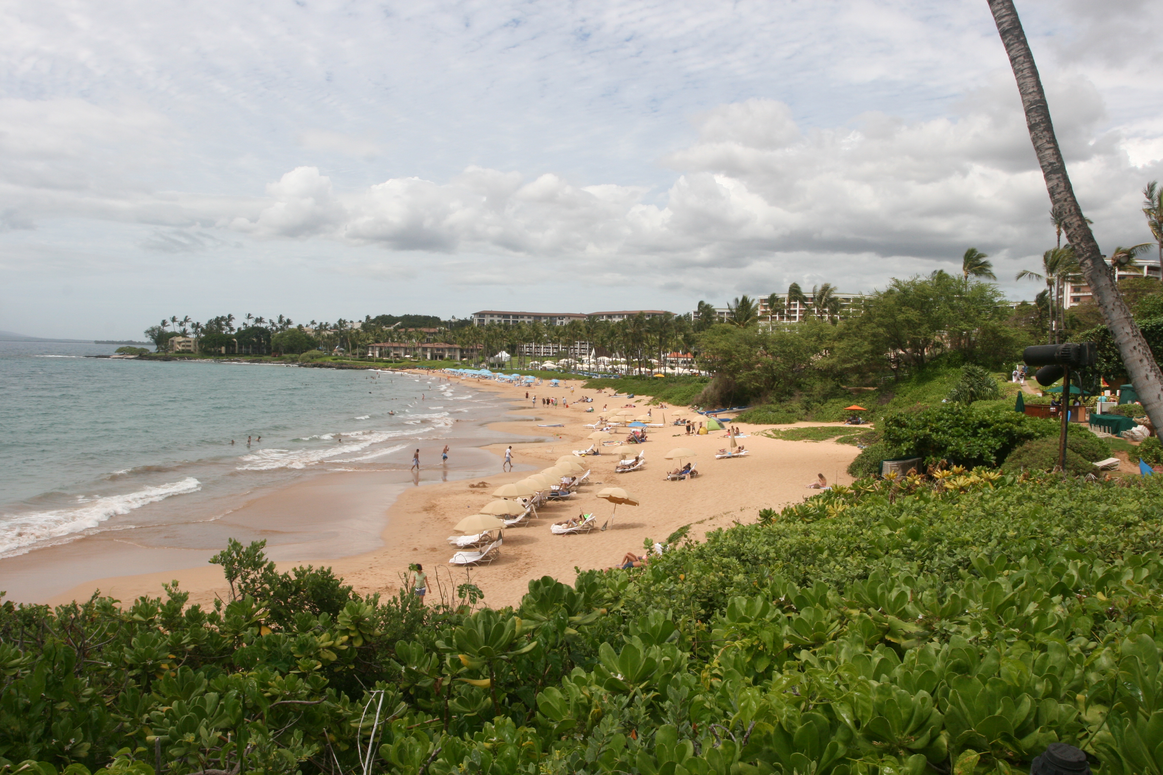
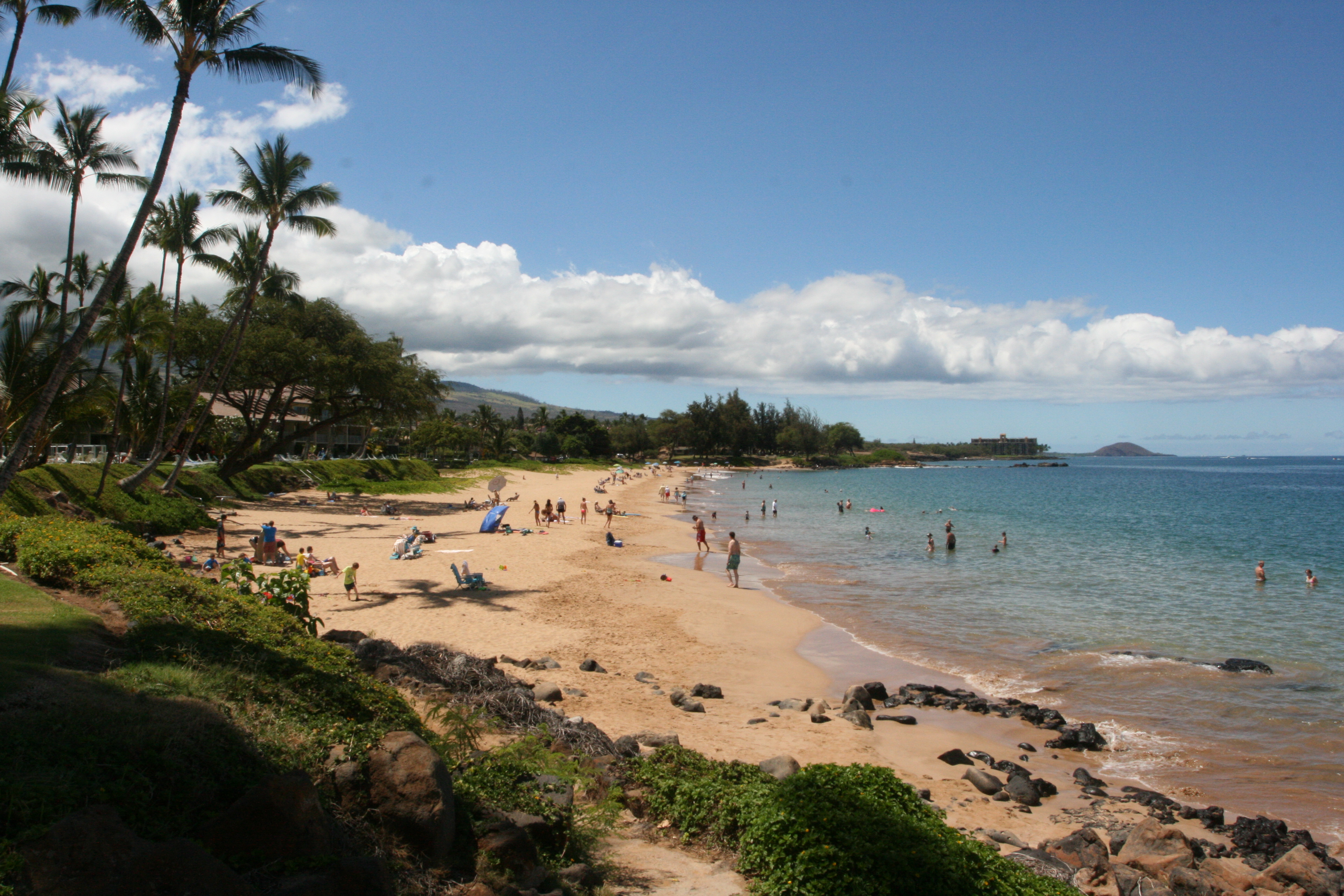
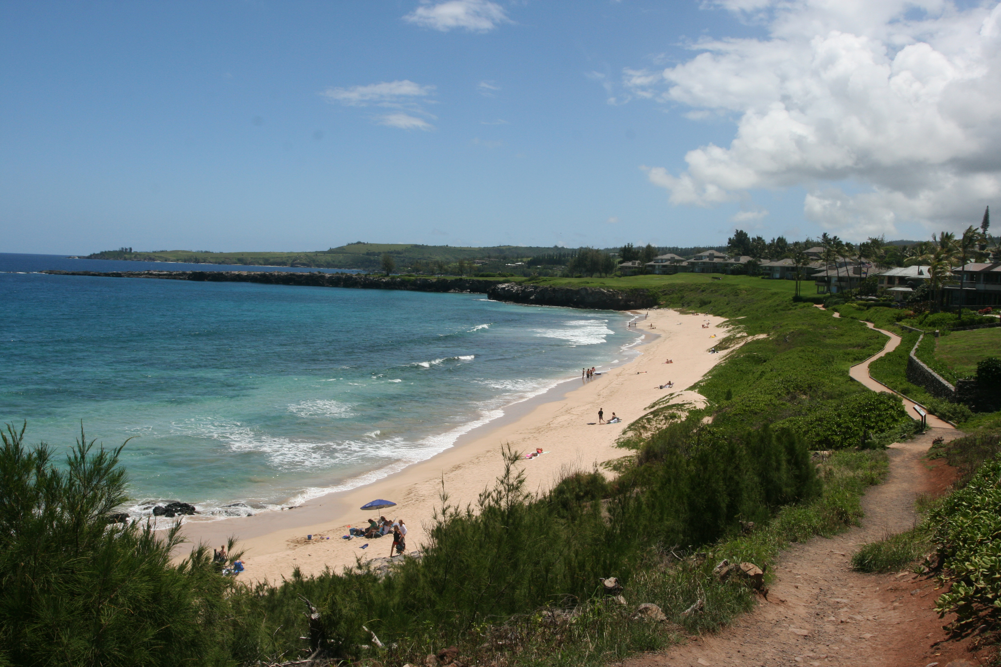
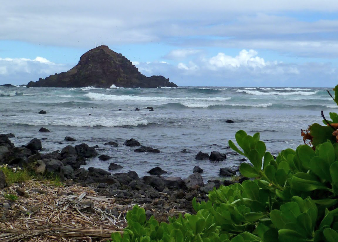
Pu’u Olai as seen from Charley Young Beach

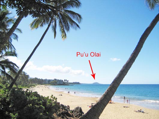
Pu’u Olai is a 360 foot tall cinder cone in the middle of Makena State Park. A dominant feature on the southwest coast of Maui, Pu’u Olai is visible from almost everywhere in west Maui and as far north as Olowalu on the road to Lahaina. If you want to get to Makena, just drive toward Pu’u Olai.

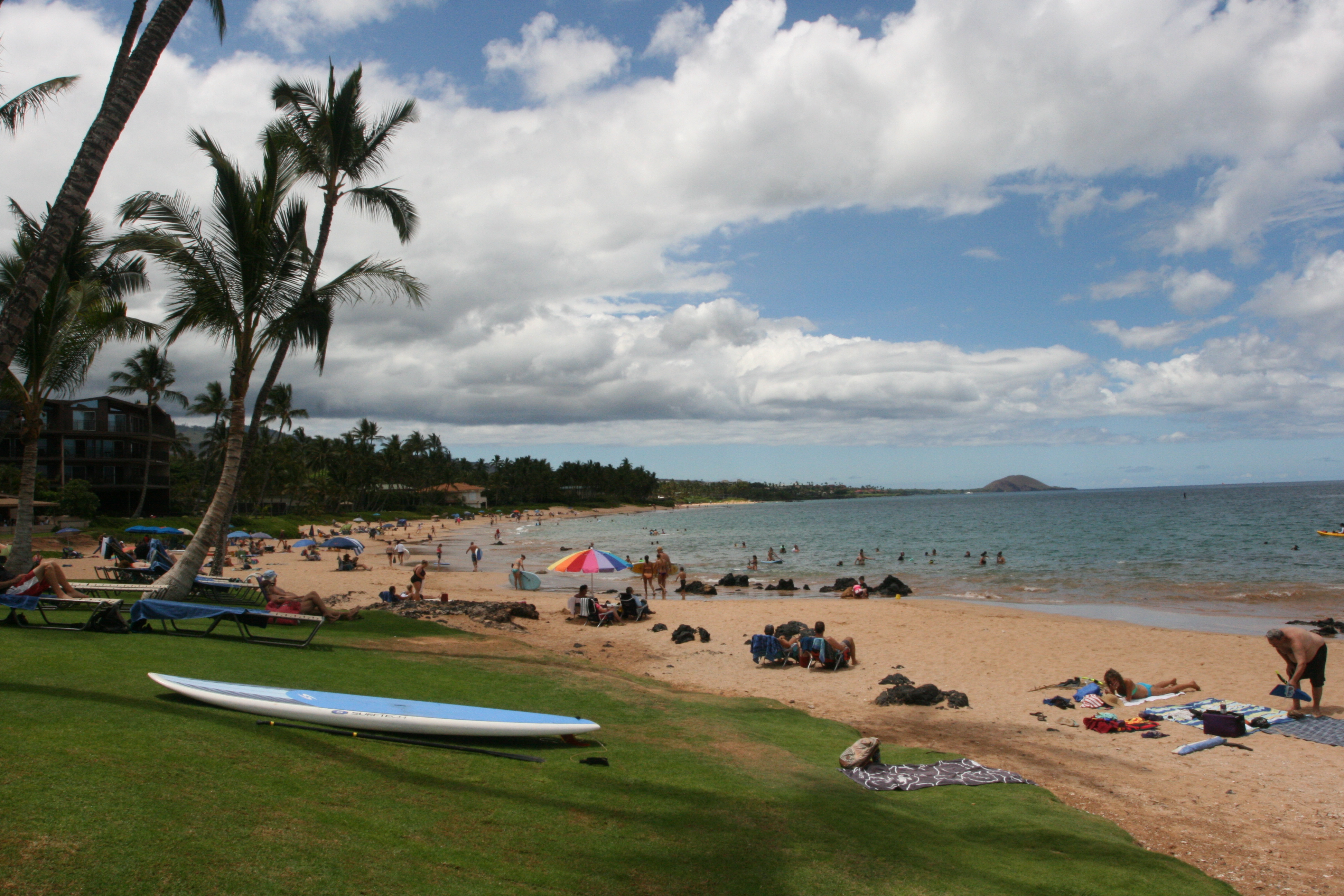
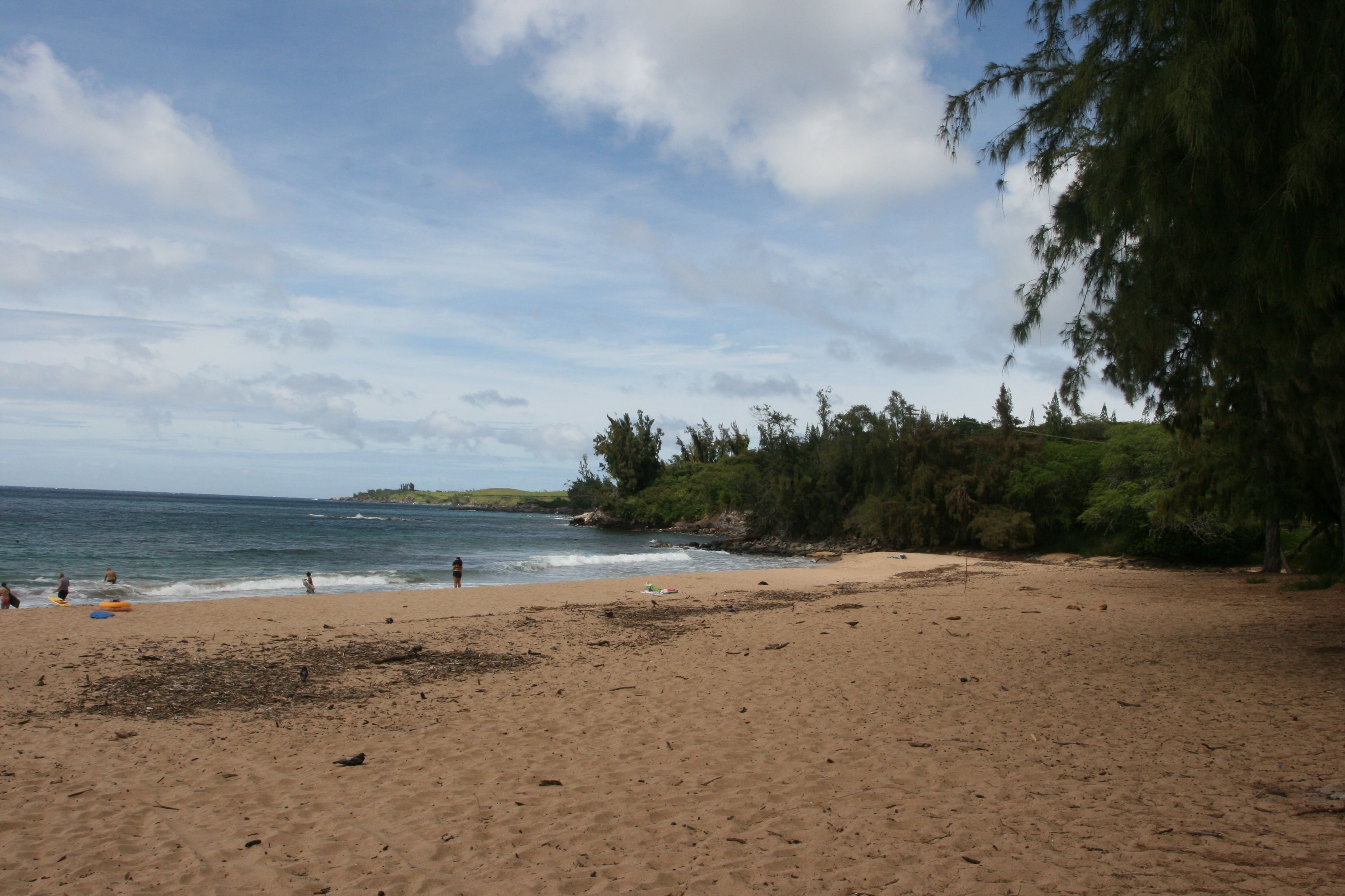
Big Beach is on the south side of Pu’u Olai; Little Beach on the west side, and Black Sand Beach is to the north.

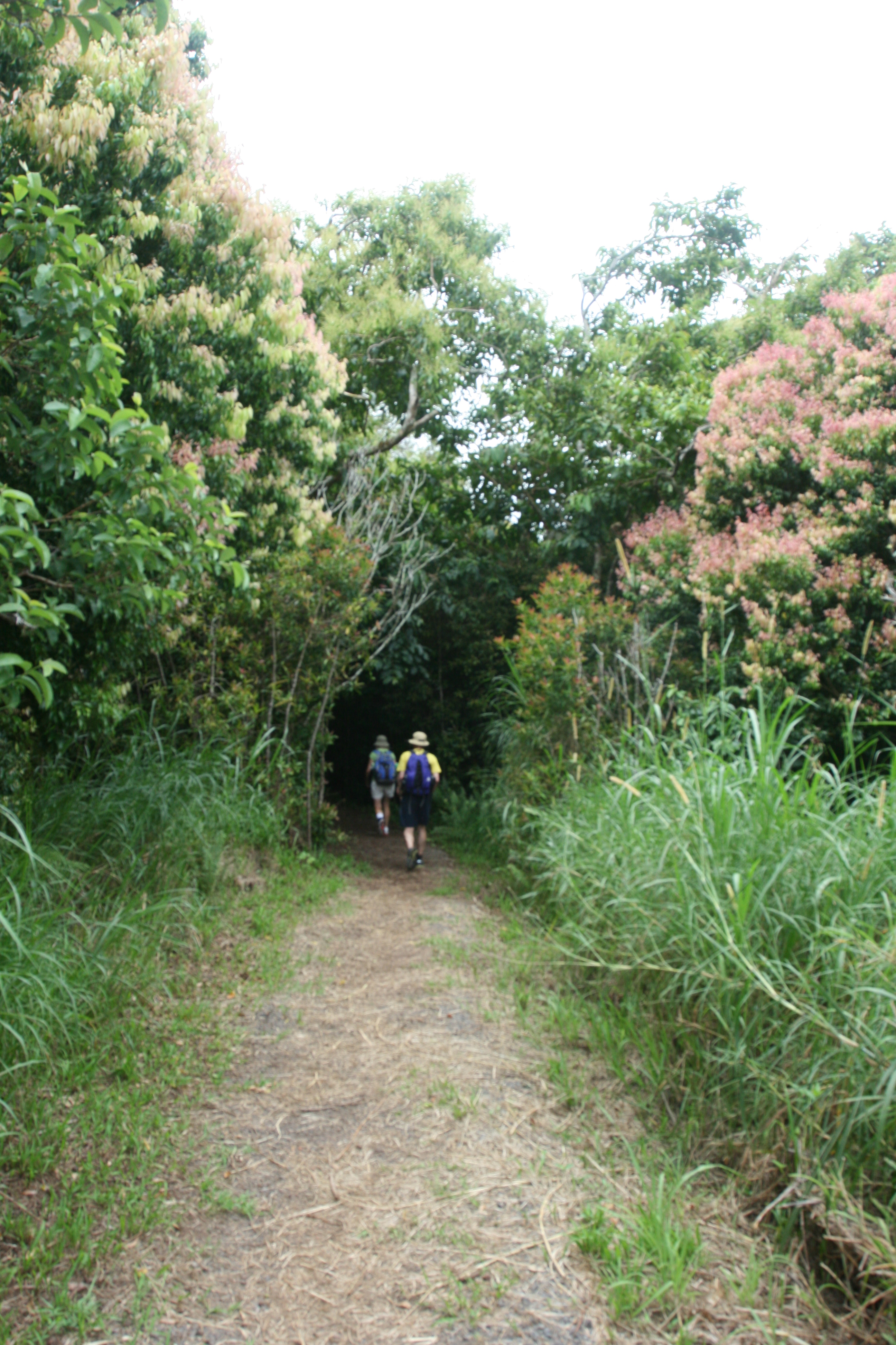
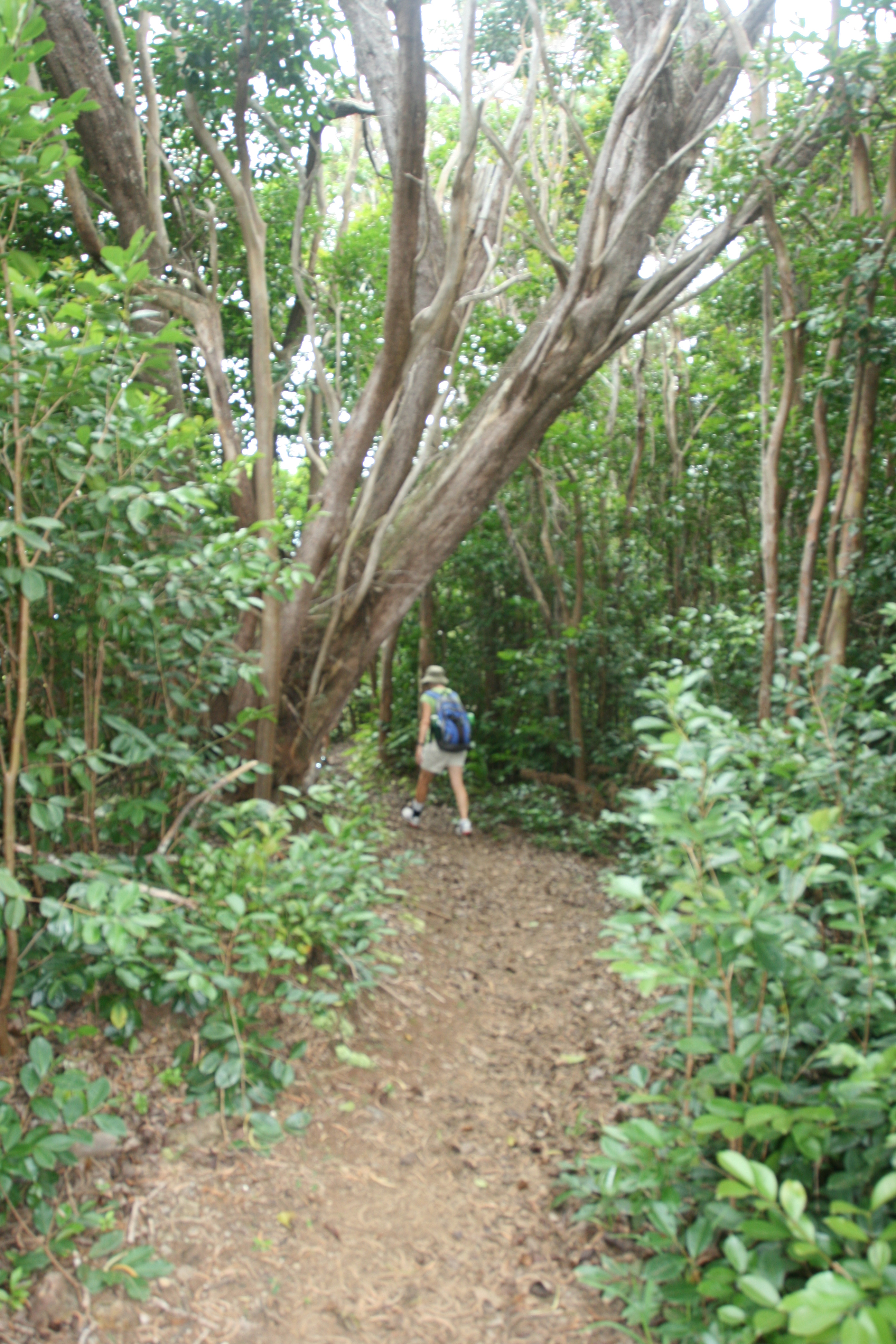
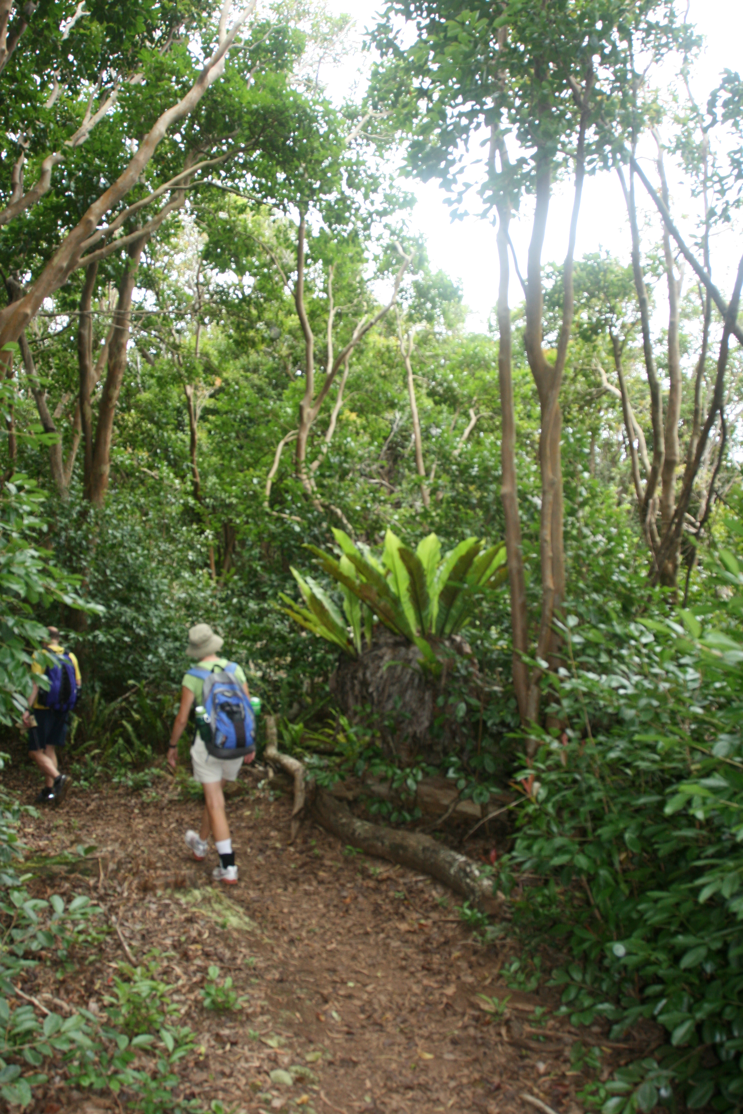
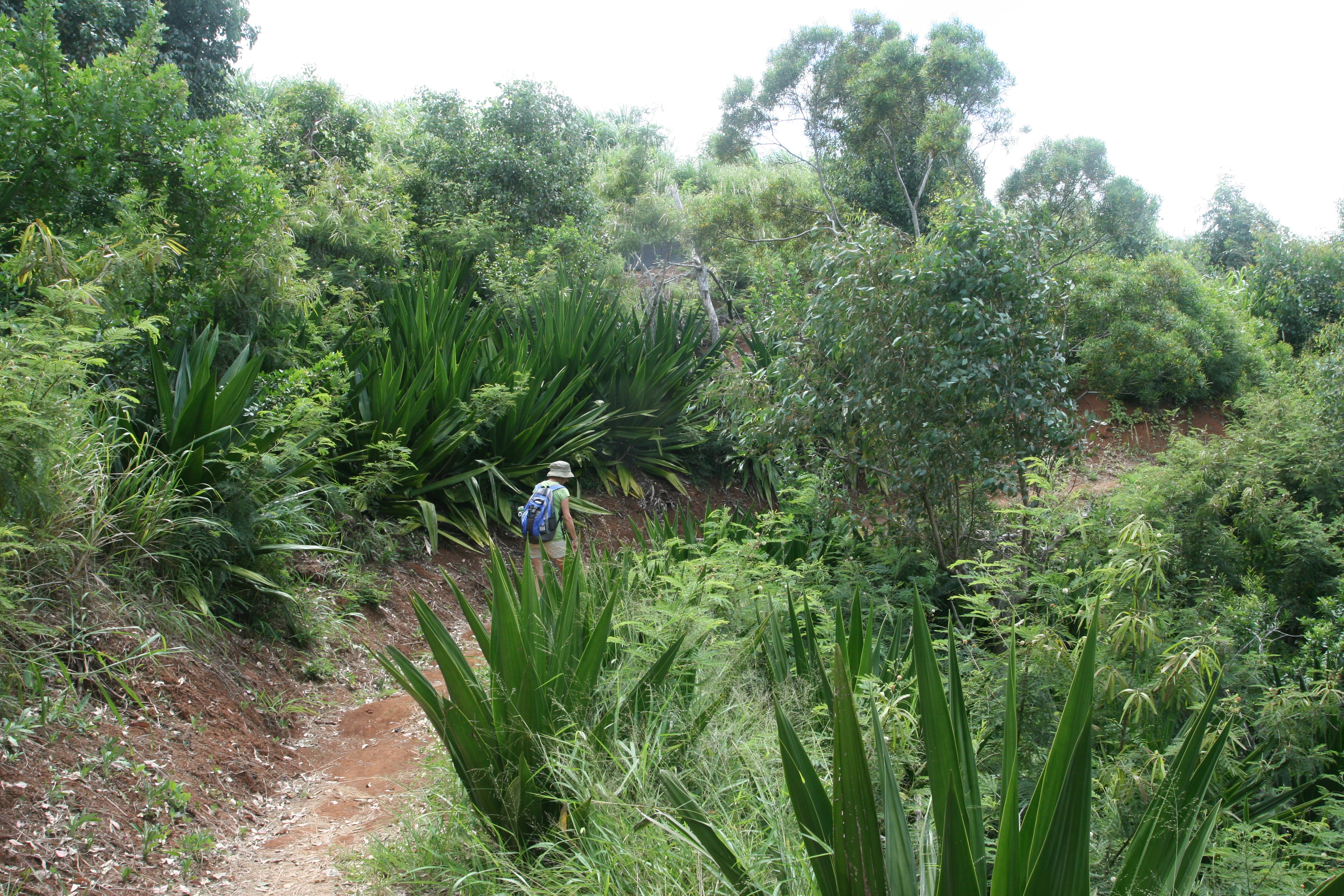
Numerous trails lead to the summit of Pu’u Olai. It’s a short, but sometimes steep, hike. We took a trail that starts from the road to Black Sand Beach, maybe 50 yards from the parking lot at the end of the road. Most of the trail is entirely exposed, so go in the morning before it gets hot. Take water and enjoy the view. Hiking shoes, tennis shoes, or (at minimum) strap on sandals are recommended. Parts of the trail are composed of loose gravel – not a problem going up, but potentially hazardous coming down.

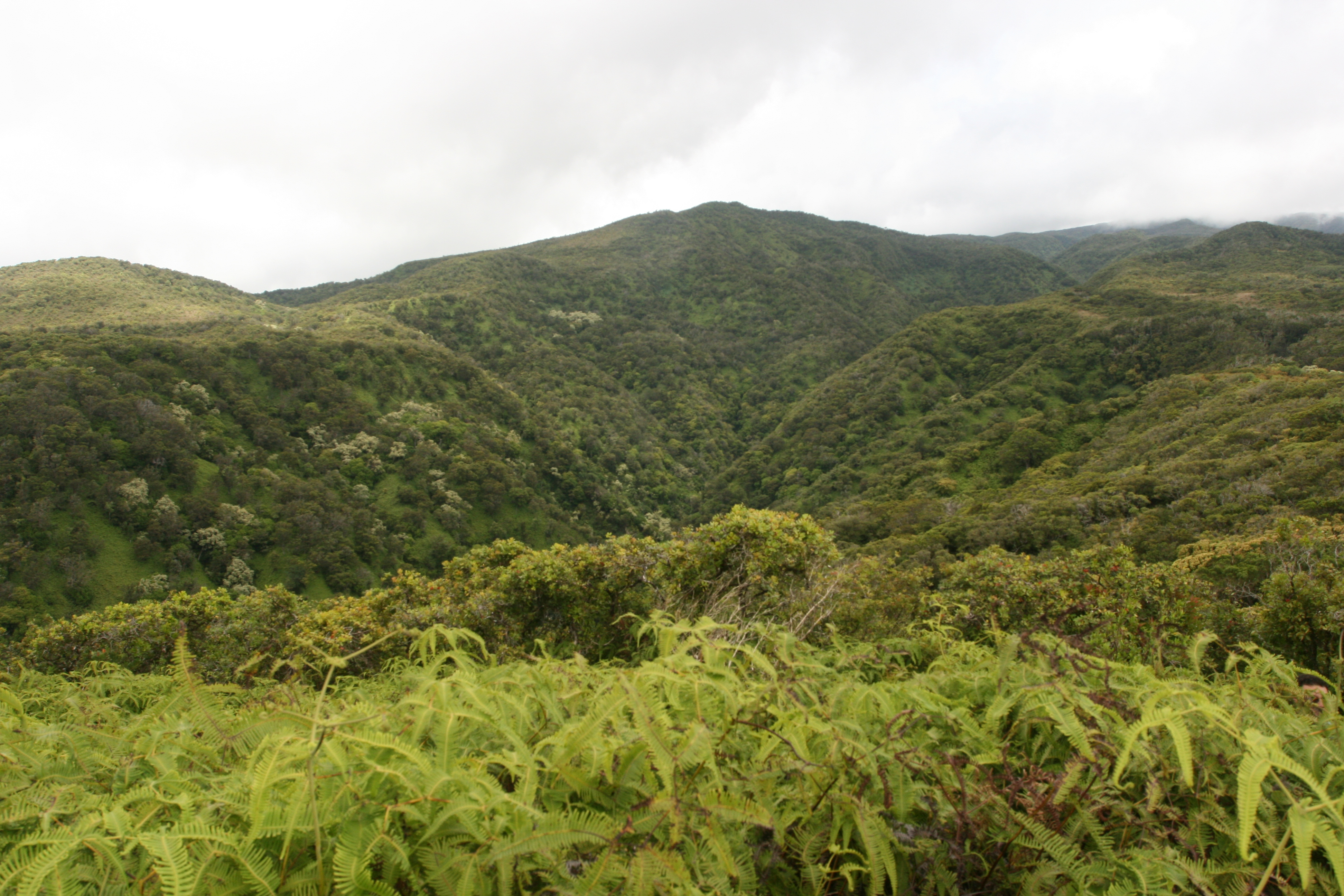
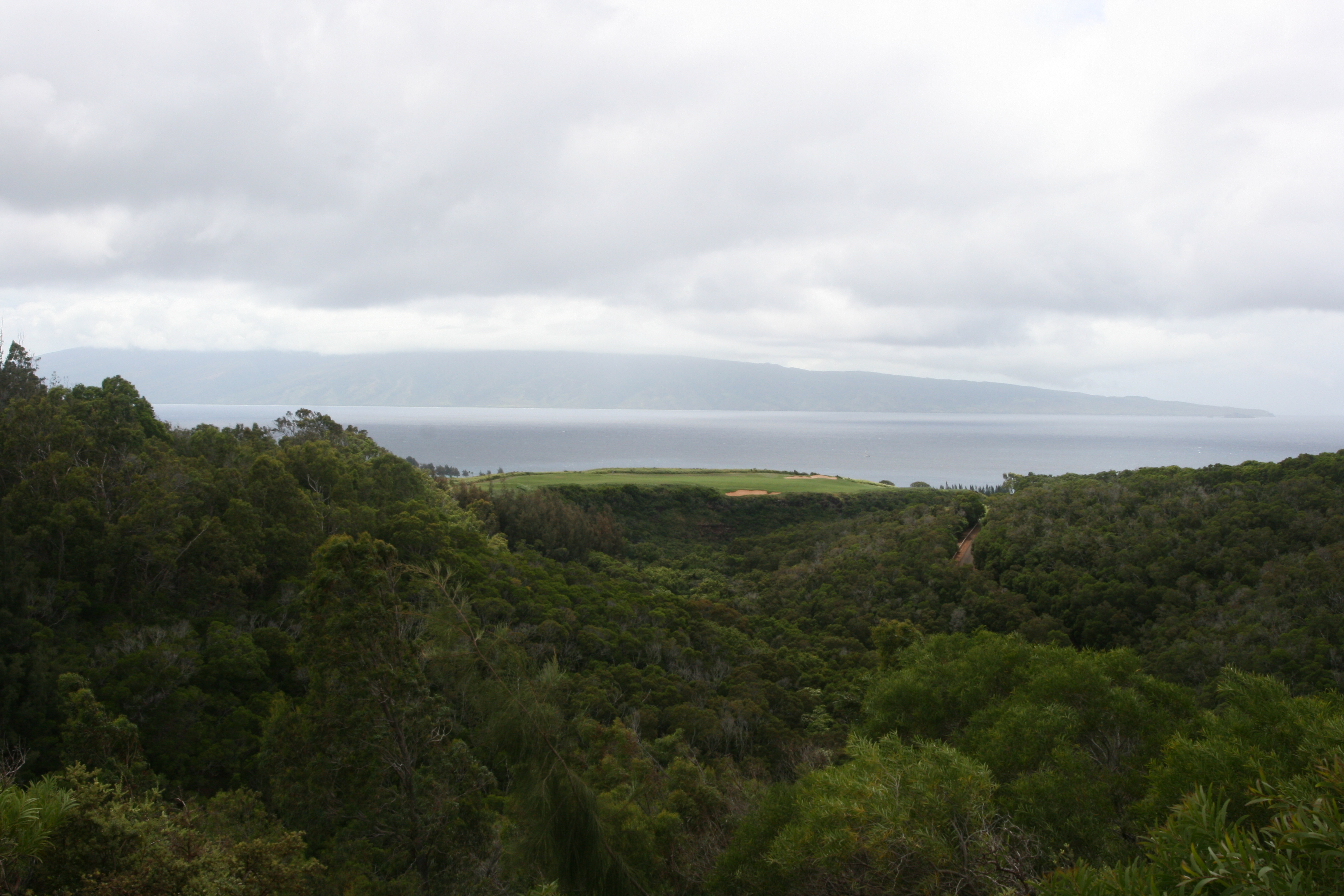
On a clear day you can see Mauna Loa and Mauna Kea on the Big Island, the uninhabited island of Koho’olawe, Molokini (where the snorkel boats go), Lanai, Molokai, and, of course, Mt Haleakala, the West Maui Mountains, and most of Maui.

Big Beach as seen from Pu'u Olai

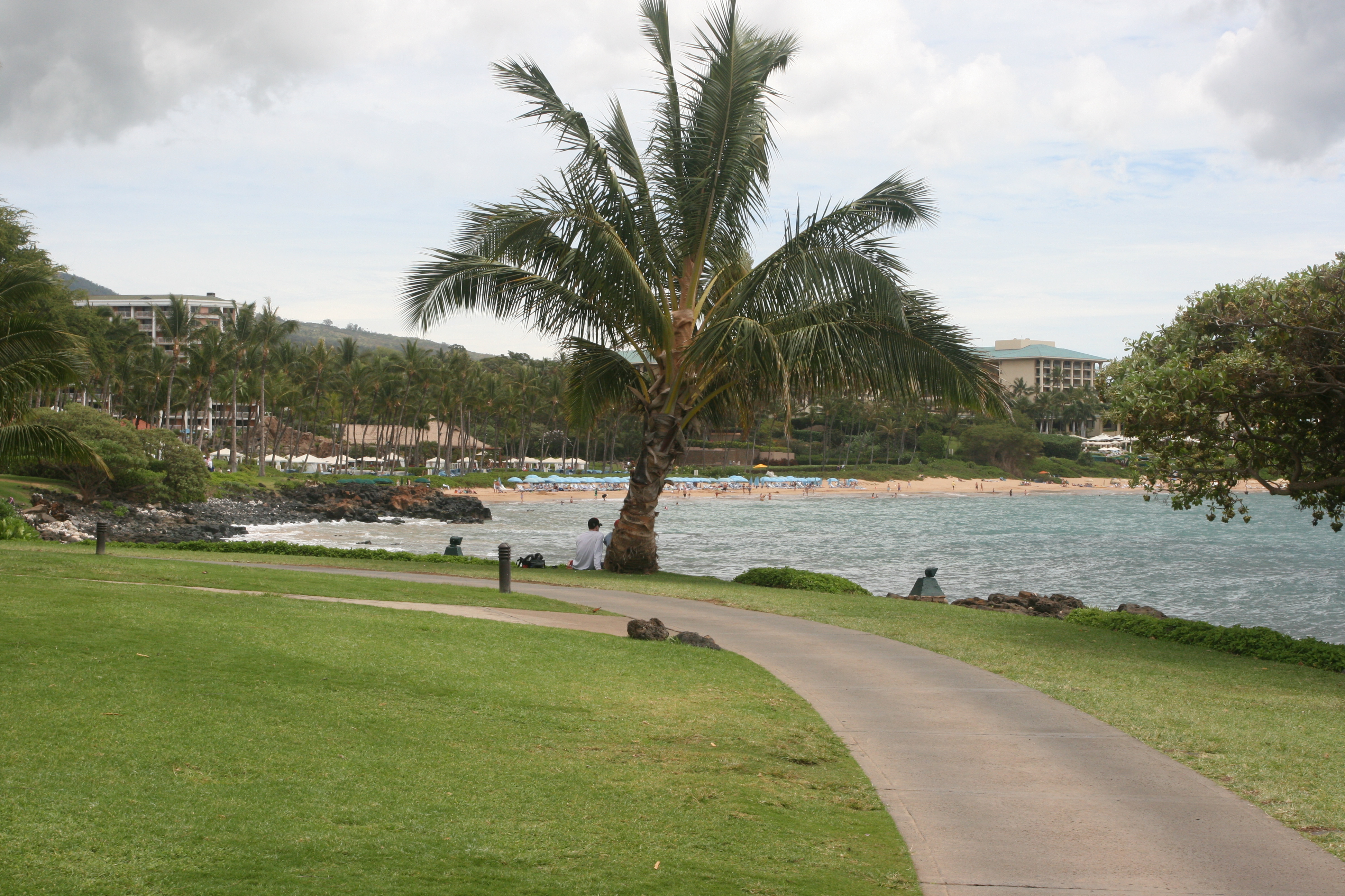
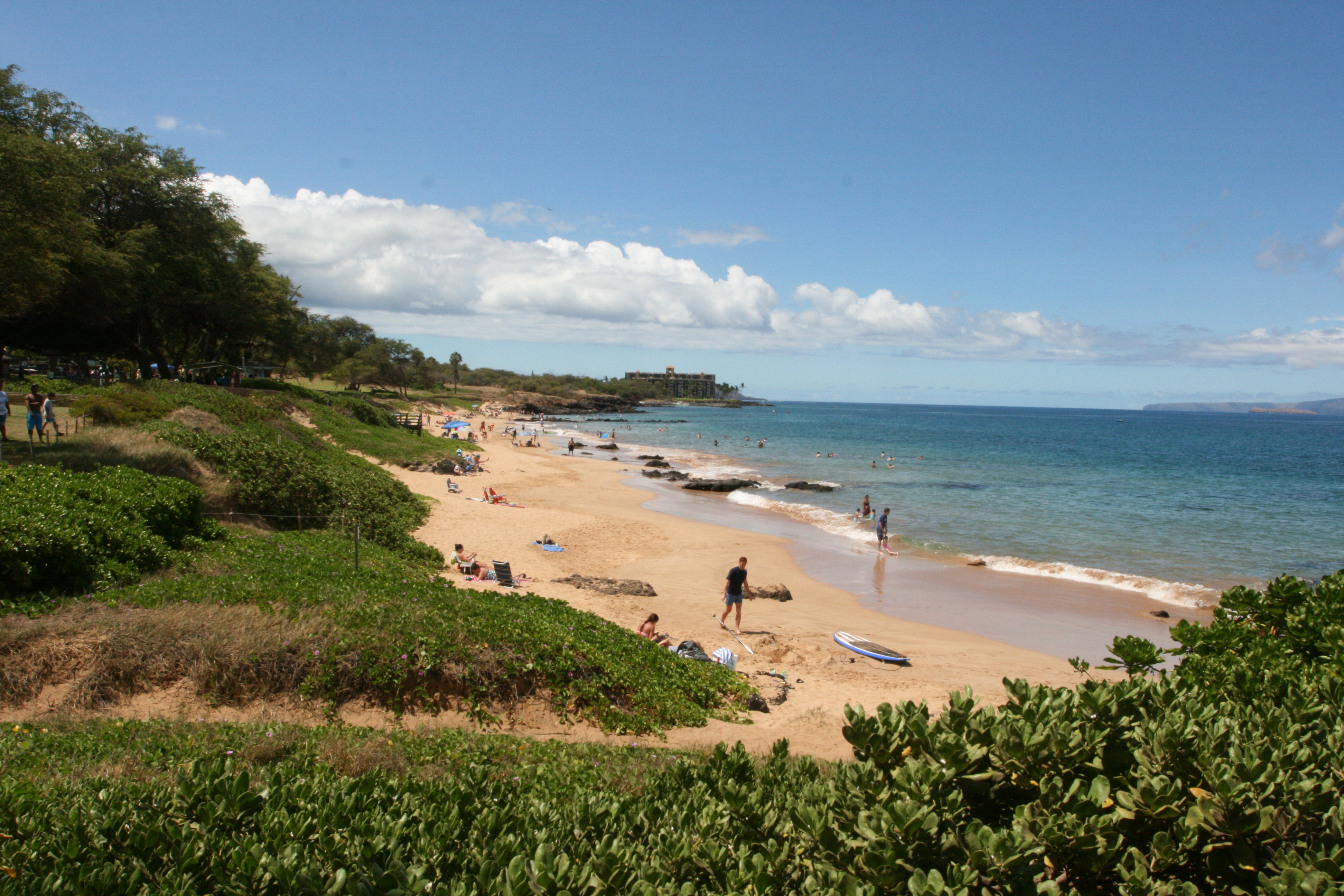
Big Beach as seen from Pu’u Olai

View toward Wailea from Pu'u Olai

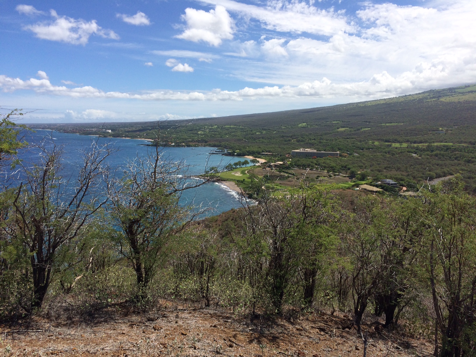
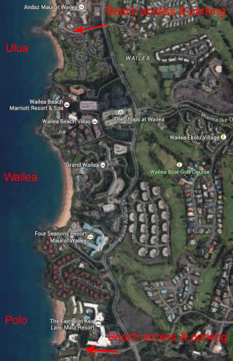
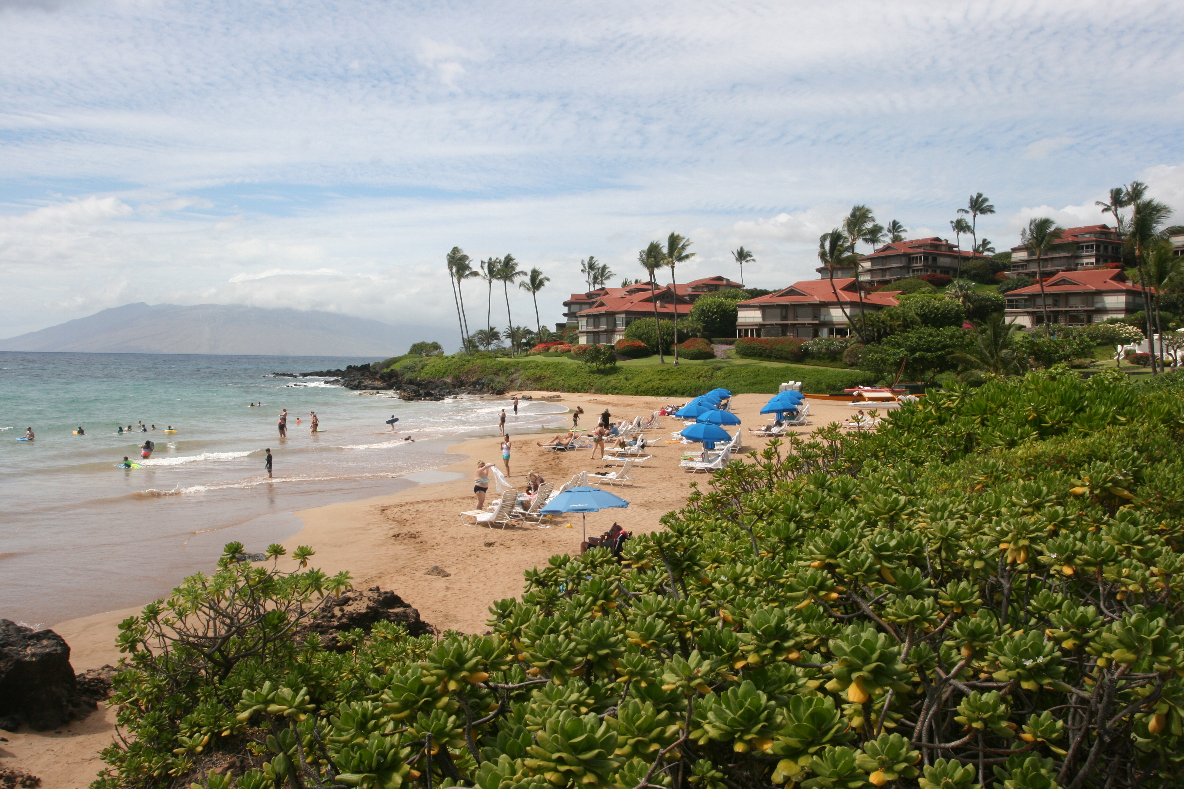
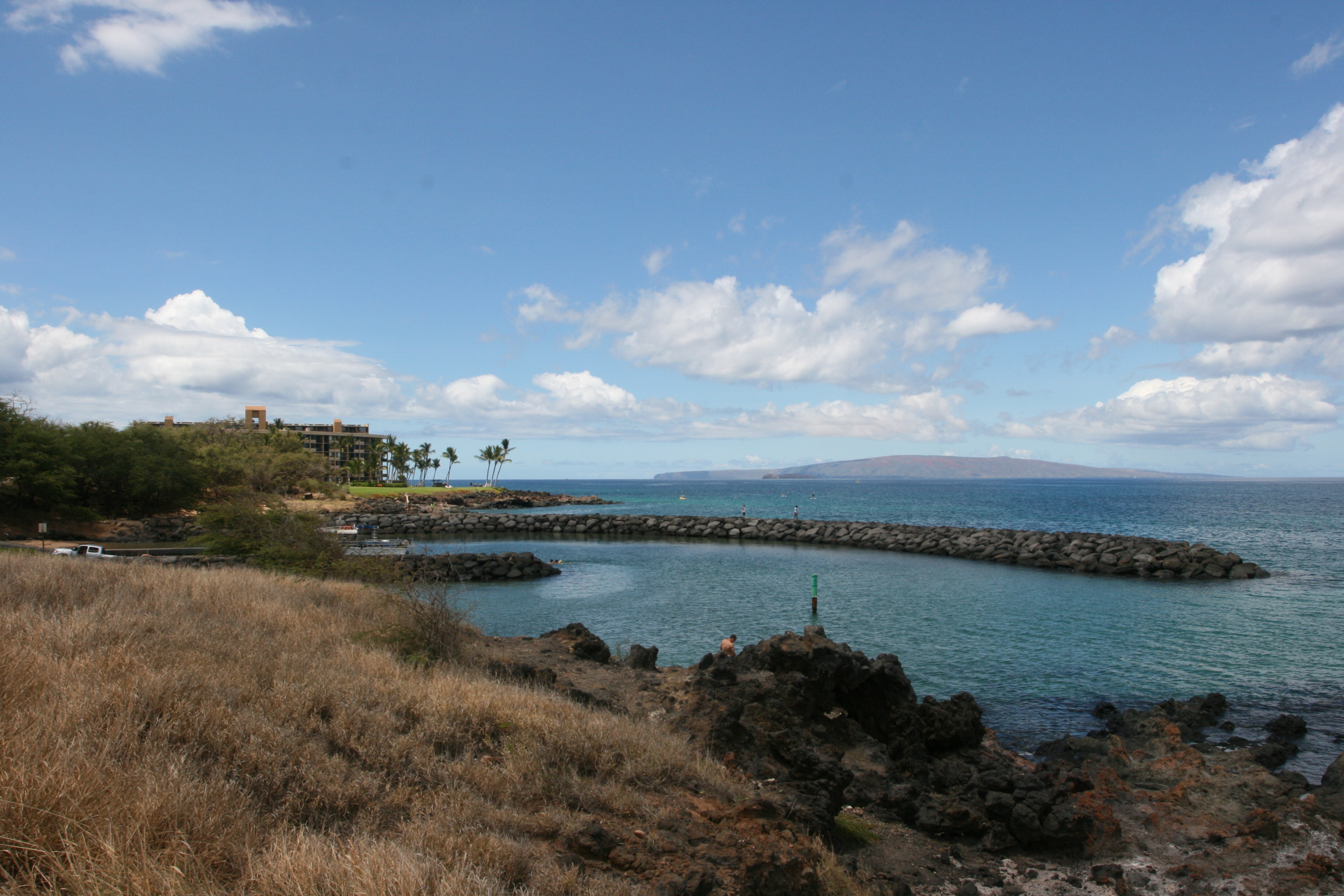
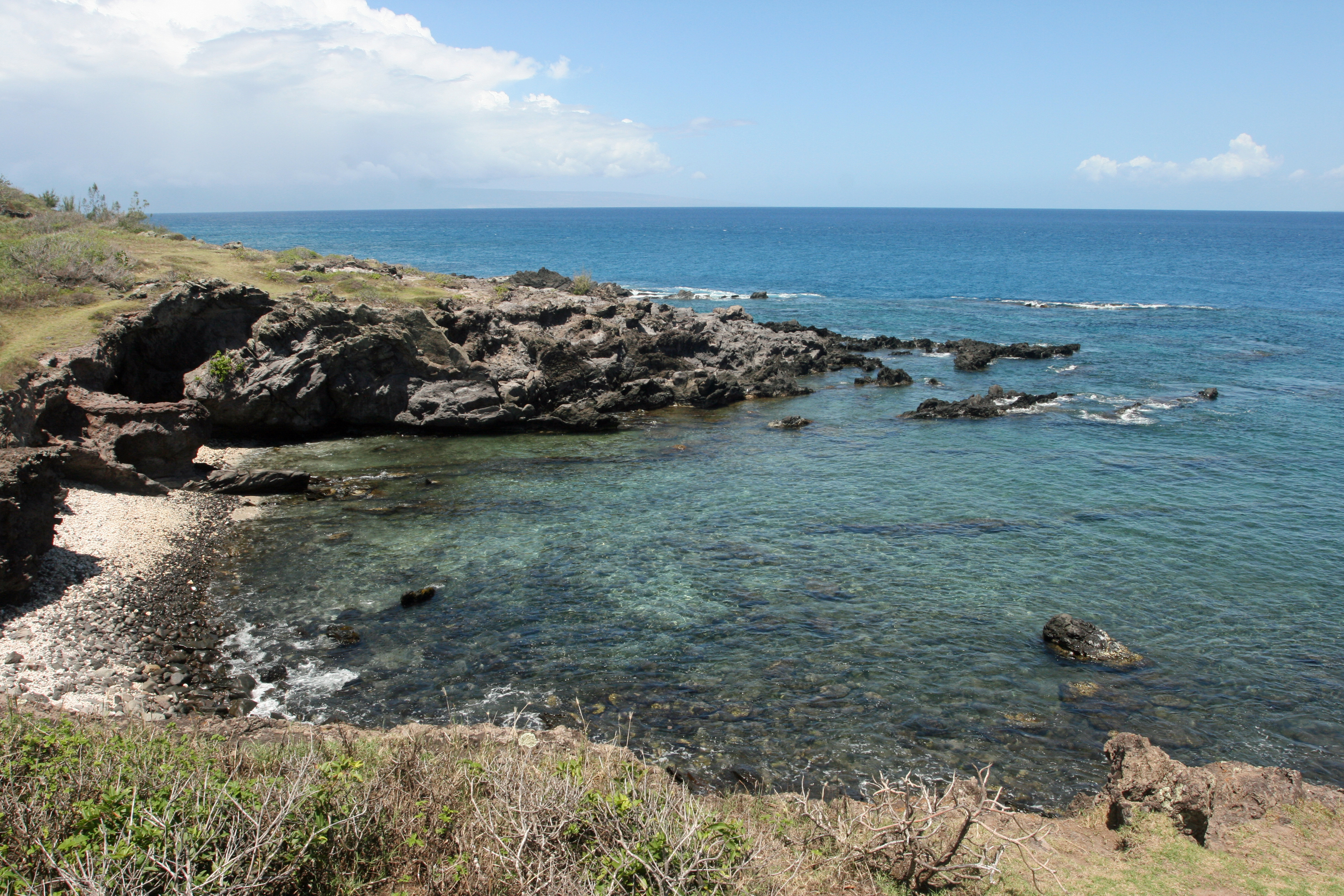
View toward Wailea from Pu’u Olai

Wailea Coastal Walk – Ulua Beach to Polo Beach

Wailea Coastal Walk revisedIt’s an easy mile and a half stroll on a paved path from Ulua Beach to Polo Beach. Of course, unless you take two cars, it’s a mile and a half back. At a leisurely pace, it takes about 35 minutes each way without stops.

On the other hand, you probably will stop. The views are beautiful. You’ll see turtles bobbing near the shore. The beaches have great snorkeling, swimming, boogie boarding, and sunning. Wear your swimsuit, take a backpack chair, bring snorkel gear. Make a morning or afternoon of it. Bring water and sunscreen.

The walk starts at Ulua Beach on the pathway in front of the exclusive gated community, Wailea Elua Village. As you walk, you’ll pass most of the major Wailea resorts and several condominium complexes.

Start at Ulua Beach

Beginning of paved walkway

2 Ulua Beach

Ulua Beach (great snorkeling)

3a Approaching the Mariott

Approaching the Mariott

4 Approaching Wailea Beach

Approaching Wailea Beach

5 Wailea Beach

Wailea Beach

6 Wailea Point

Wailea Point

7 Approaching the Fairmont

Approaching the Fairmont Kea Lani

8 Polo Beach

Polo Beach

There are public restrooms and outdoor showers at Ulua Beach. Polo Beach has restrooms, showers, and picnic tables at the public access point.

South Kihei Beach Walk

South Kihei Beach Walk MapSouth Kihei has some great beaches where you can walk for miles. This 90 minute walk starts and ends at Charley Young Beach, across the street from our condo at Maui Vista. The round trip is about 3 miles – so the pace is leisurely.


Most of the walk is on sand but there are a few places where you’ll want sandals.


Don’t forget the sunscreen and be sure to carry water.


Charley Young Beach

Charley Young Beach


Start at the north end of Charley Young Beach near these rocks.

About halfway down the beach, Charley Young becomes Kamaole Beach Park I.

Note that all three Kamaole parks have lifeguards, restrooms and showers.

Kamaole Beach II

Kamaole Beach II


Take the sandy path at the south end of the beach and use the short public access pathway on the makai (water) side of the Royal Mauian Condos to get to Kamaole Beach II.

Check the water as you pass the Royal Mauian. You can often see turtles swimming and feeding off the point.


Kamaole Beach III

Kamaole Beach III

You may want your sandals at the south end of Kamaole II as you climb the short slope to the large grassy park of Kamaole III.

On the weekends, this park is a favorite place for local families to host children’s birthday parties.

You can walk through the park on the grass or return to the beach.


6 - Kihei boat ramp

Kihei Boat Ramp

The south end of Kamaole III is about a mile from the start of this walk. You can turn around here or put on your sandals for an entirely different experience.

If you continue on, stay on the paths that crisscross this natural area – it’s a nesting habitat for the Wedge-tailed Shearwater. You’ll soon see the jetty at the Kihei Boat Ramp.


7 - south of boat ramp

Path from the boat ramp to the Kihei Surfside

Walk under the shade trees on the makai side of the boat ramp parking lot. Cross the boat ramp and look for the path just to the right of the paved driveway with the “Do Not Enter” sign.

As you round the corner of this short delightful path you’ll come to the grounds of the Kihei Surfside resort. The public access pathway is next to the water.

Keawakapu Beach

Keawakapu Beach


Continue on the boardwalk past the tall Mana Kai Maui Resort and the 5 Palms Restaurant to the north end of Keawakapu Beach.

Turn around here or, if you’re really ambitious, stroll down Keawakapu Beach. It’s another mile to Ulua Beach – just past the last bit of sandy beach in the distance.

Maunalei Arboretum and Mahana Ridge Trail

UNFORTUNATELY, CONVENIENT ACCESS TO THIS HIKE IS NO LONGER POSSIBLE. HERE’S THE INITIAL WRITE UP:

This lengthy but mostly shady hike takes you through beautiful and diverse vegetation with occasional spectacular views into the lush West Maui Mountains and out to the blue Pacific and the islands of Lanai and Molokai.

Entering Maunalei Arboretum

Entering Maunalei Arboretum

The first mile of this 6.5 mile hike is uphill – not steep, but always up. The remainder is mainly downhill with short uphill stretches. Parts of the trail may be muddy, so wear appropriate walking/hiking shoes. You’ll be in the shade until the last mile or so where the sun can feel very hot. If it has rained recently, there may be slippery places. Allow 3+ hours. Bring snacks and plenty of water.

View of the watershed

View of the watershed

IMG_1036 IMG_1041

View to the ocean

View to the ocean

IMG_1055 A free shuttle takes you from the Kapalua Resort Adventure Center to the trail head. There is no other way to get there except by hiking the trail backwards, which is not recommended. Call the Adventure Center (808 665-4386) for driving directions, departure times, and to reserve a place on the shuttle. The trail ends at D. T. Fleming Park and beach, a short walk from the Adventure Center where you left your car.

D. T. Fleming Beach

D. T. Fleming Beach


West Maui Hiking – The Kapalua Coastal Trail

Kapalua Coastal Trail Map

Kapalua Coastal Trail Map

The Kapalua Coastal Trail is an easy, beautiful walk along the northwest coast of Maui. The trail starts at the public access parking lot for Kapalua Beach and winds a mile and a half along the coast to D. T. Fleming Beach. Both the beginning and end of the trail are paved. In between there are sections of gravel, dirt, and boardwalk. By far the most spectacular part of the trail is the first two-thirds – from Kapalua Beach to Oneloa Beach.

Kapalua Bay

Kapalua Bay

The “trail head,” if you can call it that, is up the short flight of  stairs in the picture to the right. You could take a stroller or wheelchair on this part of the walk.

Alternatively, you can walk along the beach and access the trail later.

Namalu Bay

Namalu Bay

Along the way you’ll see beautiful beaches, rugged coastlines, native plants, lots of turtles, and multi-million dollar homes, condos, and resorts.

The path out to the end of the point (shown in the map above) is well worth the modest extra effort.

Rugged little coves form the west end of Oneloa Bay. Watch closely and you’ll see turtles surface for air and glide through the water below you.

Look for turtles in the coves at the west end of Oneloa Bay

Look for turtles in the coves at the west end of Oneloa Bay

Oneloa Beach

Oneloa Beach

Oneloa Beach is a lovely stretch of sand with good snorkeling. Wear your swim suit and carry some snorkeling gear and a towel.

The trail turns inland at the east end of Oneloa Bay where is meets up with the Lower Honoapiilani Road. Here the “trail” is actually a sidewalk. Not so interesting here. Just past the Ritz-Carlton wedding chapel, the trail becomes a path through the grounds of the resort, finally winding down to D. T. Fleming Beach.

DT Fleming BeachReturn to your car the way you came. It’s just as nice going the other way.

GETTING THERE: Drive north from Lahaina to milepost 29, turn left at the stoplight and head makai (toward the ocean). Turn right at the T-intersection onto Lower Honoapiilani Road. Look for the beach access sign just past the Napili Kai Beach Resort.

For information on other hikes on Maui click here for Hana – Oheo Gulch and the Pipiwai Trail, or Hiking La Parouse Bay, or Haleakala – the Halemaluu Trail, or Haleakala – the Sliding Sands Trail.

The Hana Highway

Map to HanaSo you want to go to Hana.

It’s only 60 miles from Kihei to Hana but a round trip will take all day. Why? The last 40 some miles of the Hana Highway has over 600 curves – many of the hairpin turns – 46 one-way bridges, sometimes a lot of traffic, and many beautiful things to see along the way. Average speed is about 20 mph. That’s why it will take all day.

Tips: leave early (think sunrise) and plan on getting back after dark. (A moonlit night is nice.) Stop at lookouts and waterfalls so the driver can enjoy the trip. Share driving. If you can, spend the night in Hana or at the campground in the national park. Oh yes, if you’re prone to motion sickness, take meclizine before you go.

Ka'anae Peninsula as seen from Kaumahina Park

Ka’anae Peninsula as seen from Kaumahina State Park

The trip to Hana is about the journey, not the destination. The town of Hana is nice enough – you can get lunch there, buy some really expensive gasoline, maybe pick up a souvenir or two – but that’s not why you go to Hana. You go to Hana because of what you see along the way.

Surf off Ke'anae Peninsula

Surf off Ke’anae Peninsula

About halfway between Paia and Hana is Kaumahina State Park. It’s well signed and conspicuous on the mauka (uphill) side of the road. In addition to a fine view of Nua’ailua Bay and the Ka’anae Peninsula, it has some of the only public restrooms before you get to Hana. Two good reasons for a stop.

A side trip onto the peninsula makes a pleasant stop to admire the old stone church, stretch your legs and watch the surf.

Ching's Pool and Bridge

Ching’s Pool and Bridge

Inland from the Ka’anae Peninsula is Ching’s Pool and bridge. Very picturesque and a popular place for daredevils to jump from the bridge. The bridge is much higher than it looks in this picture and they say there are rocks in the vicinity where you might land. Jumping is NOT recommended.

Wailua Falls is a popular stop – not least because it’s right beside the road.

Wailua Falls

Wailua Falls

Past Hana is Koki Beach with a nice view of Alau Island. Once you’ve gone this far a trip to Ohe’o Gulch (aka The Seven Sacred Pools) in the Kipahulu portion of Haleakala National Park is worth the extra few miles. There’s a great hike from here too. See our post Hana – Ohe’o Gulch and the Pipiwai Trail.

Looking seaward from Ohe'o Gulch

Looking seaward from Ohe’o Gulch

Alau Island off Koki Beach Park

Alau Island off Koki Beach Park

For an alternate route to or from Hana see our post Hana – the Road Less Traveled.

Hana – Oheo Gulch and the Pipiwai trail

Lower pools

Lower pools

The road to Hana offers many spectacular views but much more awaits those who venture from the beaten path. If you’re going to make one long stop, consider the Pipiwai trail. The trail is a four mile round trip up the Oheo Gulch through bamboo forests past spectacular waterfalls and pools.Vertical gain to Waimoku Falls, the turn around point, is 650 feet. Allow 2+ hours – more if you like to savor the sights at a leisurely pace.

River's end

River’s end

Sometimes called The Seven Sacred Pools, the lower pools on the Oheo Gulch are a VERY popular destination about 12 miles past Hana. But there’s a lot more than seven pools and there’s nothing particularly sacred about them. The name, “Seven Sacred Pools,” is just a marketing ploy someone dreamed up a long time ago.

Shady grove

Shady grove

The well marked trail head is near the visitor center in the Kipahulu area of Haleakala National Park. A three day park pass – which is also good for the summit – is $10. Wear good shoes and carry water. Note: the river is prone to flash flooding. Don’t go if it’s raining or threatening to rain.

For the drive to Hana, see our post The Hana Highway. For driving the an alternate route to or from Hana (i.e. the south coast of Maui) see Hana – the Road Less Traveled.

Banyon tree

Banyon tree

Bamboo forest

Boardwalk through the bamboo forest

400 foot Waimoku Falls

400 foot Waimoku Falls

Haleakala – Into the Crater (The Halemauu Trail)

Near the trail head

Dust in our eyes from the Sliding Sands Trail blew us off the top of Haleakala. We decided to try our luck with the Halemauu Trail.

The parking lot at the trail head is clearly marked just below the 8,000 foot level. We were greeted by a couple of overly friendly Nene. The composting toilet at the parking lot was spotless the day we were there – hand sanitizer and everything.

Approaching the crater

The first part of the hike is gently downhill through native scrub. While still a little windy, it was much more pleasant than at the top of the mountain – no dust and occasionally a little shade.

The steep part

The first approach to the crater’s edge is spectacular if somewhat daunting. The switchbacks in the photo below descend almost 1,000 feet to the valley floor. Click on the photo to enlarge and zoom in on it.

While not as common as on the Sliding Sands Trail, people ride horses up and down those switchbacks.

The round trip from the parking lot to the Holua Cabin on the valley floor is an arduous 8 miles. It can easily take 4 to 5 hours. Bring food and plenty of water. As with anywhere at higher elevations on Haleakala, bring layers of clothing. It can get very cold.

You’ll also want to bring your camera. The views of the Ko’ olua Gap and crater interior are spectacular.

For an easier hike with all sorts of amazing views, take the one mile hike to the end of the ridge jutting out into Ko’ olua Gap. We stopped there for a picnic lunch.

On top of the world

Click here to see our blog on the Sliding Sands Trail.

Haleakala – Into the Crater (The Sliding Sands Trail)

Horse back riders on the Sliding Sands Trail

There are several great trails into the Haleakala erosion crater. If you click on the picture to the right you can see a line of horses and riders ascending the Sliding Sands Trail. It’s only when you see something like this that you get an idea of the scale of the place.

While this is all explained in the Maui trail book in our condo, the trail head is a short walk around the cinder cone on the south side of the parking lot. From the start of the trail it’s 2,500 vertical feet to the crater floor – so the hike down is pretty easy. The hike up is another matter. Depending on your physical condition and how you react to the thinner mountain air, it will take 1.5 to 2.0 times as long to hike out as it takes to hike in. Keep this in mind if you’re hiking later in the day. It gets dark (and cold) fast when the sun goes down. Even in summer it can be chilly in the shadow of the west rim of the crater in the late afternoon.

Haleakala Crater – Photo by Dick Morgan

As you can see from the photos, you are entirely exposed on this trail. Use sunscreen and carry water. We generally hike with a daypack with water, snacks, extra clothing and anything else we might need.

Consider adding a hike to your Haleakala experience. If you come early for the sunrise, you can hike in and out before lunch and then enjoy a meal in the Up Country. Alternatively, if you’re not into starting your day at 2 or 3 AM so you can see the sunrise, you can hike in the afternoon and time your return to see the sunset from the top of the mountain. It’s a whole lot like the sunrise, but without the busloads of tourists and people standing five deep at the best vantage points.

Speaking of sunrise and sunset, did you know that Haleakala means “house of the sun” in Hawaiian? To find out more, click here.

For another great (but harder) hike into the crater, click here to see our blog on the Halemauu Trail.

Haleakala National Park – Come Prepared

There’s lots to do on Mount Haleakala: hiking, biking, horseback riding, star gazing, watching the sunrise (or sunset), camping, birding, or just escaping the heat of the beach for a day.

Haleakala Crater – Photo by Dick Morgan

While you’re there or on the way, you have a good chance of seeing rare plants and rare birds and, at the top, a landscape not unlike the pictures from Mars. There is also a chance you’ll see nothing. If the mountain is shrouded in clouds, wait for another day. If you can see the top from outside our front door at Maui Vista, it’s worth a try. Even so, the weather on Haleakala can change rapidly and the erosion crater can fill with clouds in minutes. On the other hand, it can change for the better just as fast.

If you go, be prepared. According to the National Park Service, the average temperature at the summit is 17 degrees (Fahrenheit) cooler than at sea level. And that’s an average. It can be very cold especially at night and in the shadows. If the wind is blowing and you don’t have layers of clothing, you will not stay long.

In addition to the drop of temperature, several other things happen at 10,000 feet. First, many people feel light-headed due to the thinner atmosphere. Take it easy until you know how the altitude affects you. The thinner atmoshpere also means the UV rays are even stronger than at sea level. Fortunately you’ll probably be wearing more clothes than your normal beach wear, but remember to bring sunscreen. Finally, if you’re active, you may need more water than usual. There’s precious little water and no food at the summit. If you plan to stay a while, bring your own.

It’s about a two hour drive from Maui Vista to the top of Haleakala over good, but windy roads. It’s a National Park so, if you don’t already have a pass, there is a $10 entrance fee per vehicle. The pass is good for three days and includes the driver and all passengers. There are also things to do and places to eat in the Up Country below the park. (See our posts Kula – a Drive in the (Up) Country and Grandma’s Coffee House in Kula.) Make a day of it!

See our other posts on Mount Haleakala by clicking here and here.